Finnish farmers and foresters suffer GPS disruption

The Global Positioning System or GPS is one of several systems that make up the collection of Global Navigation Satellite Systems (GNSS), as we really should be calling satellite navigation as there are several other networks now available for all to use.
GPS was devised by the US for military purposes and it is now a fundamental part of its combined forces with a huge number of weapon systems relying on it, including drones.
The war in Ukraine has relied heavily on drones with both sides using them extensively, so there is little surprise in reports that there have been attempts to disrupt GNSS signals, with the finger being pointed firmly at Russia for doing so.
This interference has already caused problems with aircraft navigation in the Baltic region with Finnair going so far as to suspend certain routes as the signals have became too unreliable in certain regions.
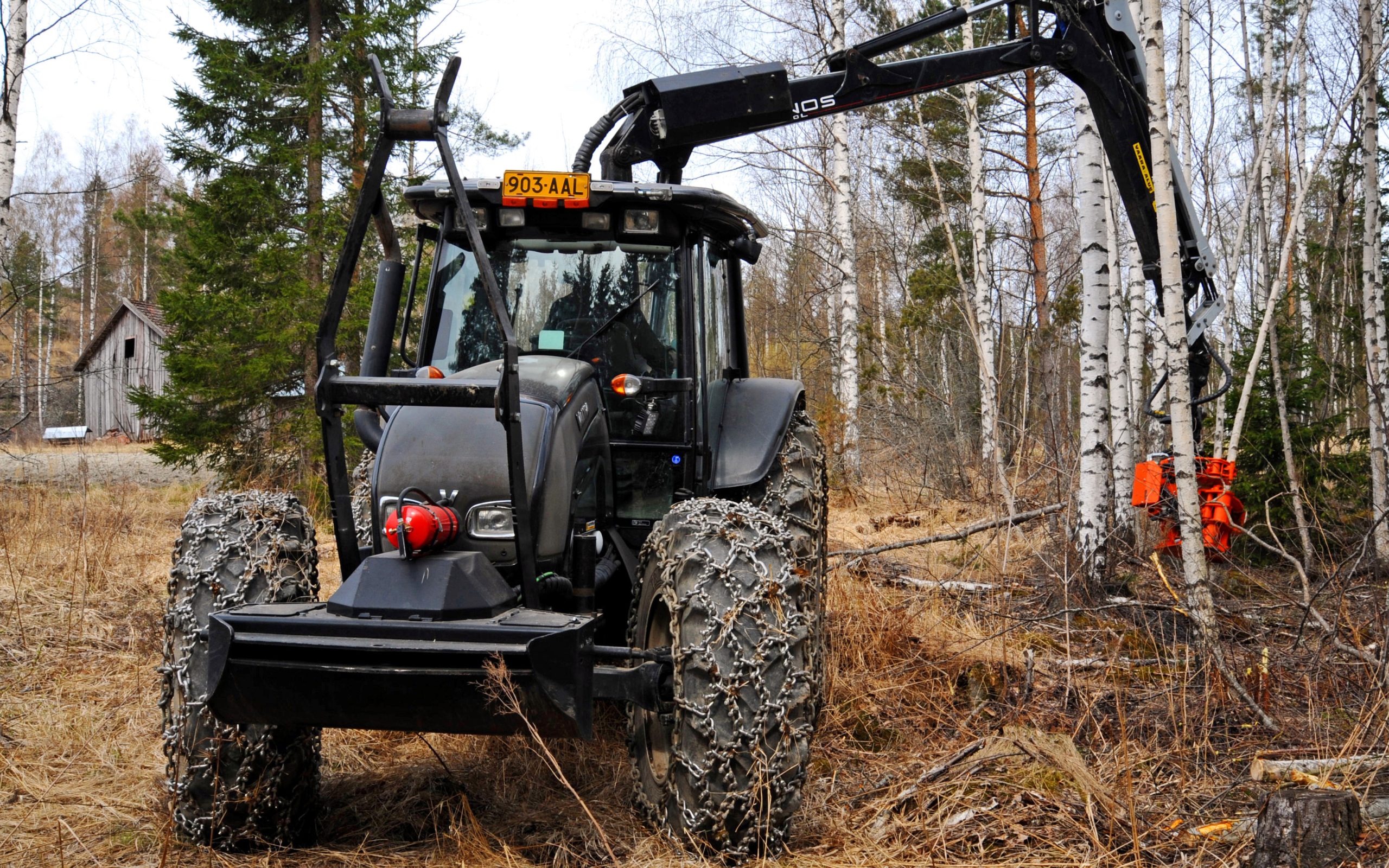
What is less often reported is that farmers in Finland are also affected by this jamming and there are a growing number of reports of tractor GNSS systems failing in the southeast of the country.
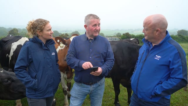
MTK, the Finnish organisation akin to the Irish Farmers' Association, has been monitoring the situation and is said to be receiving numerous complaints from farmers who are unable to rely on the systems mounted on their machines.
This has left areas of farms uncultivated and unfarmable if relying on GNSS to any great extent, as equipment manufacturers and governments are urging farmers to do worldwide.
Finland is not the only country affected. Poland, Lithuania and Latvia are also suffering from the disruption and there appears to be a ring of countries around Ukraine that have been affected, including the Balkans along with the Baltic states.
This interference is causing problems with both air and marine traffic and it is these sectors which are under the spotlight as they are totally reliant on GPS. Agriculture has attracted less attention, so far.
Yet as farming becomes ever more reliant on GPS, food production will become less secure if GNSS jamming increases, with drones taking a larger role in conflicts around the world.
While we may hope that there is not enough global conflict to make that great a difference there are other sources of GPS interference, including small scale jamming, to mask the location of a vehicle or phone for instance.
These can affect other devices for up to several hundred metres but it takes much more powerful transmitters to cause the widespread interference being seen in northern Europe.
There are mitigation measures that are able to reduce the interference. Using several GNSS services alongside GPS is one that is available to farm users and is already in place.
These may well work sufficiently and the importance of GNSS to modern society ensures that measures are taken to ensure it remains as robust as possible, but questions remain. Is it secure enough for us to have faith in autonomous vehicles for instance, and, should location data be corrupted, then how does that effect the results produced by farm management software?
Presently, there is little cause for concern here in Ireland but with the availability of small scale jamming devices, or even economic conflict with other nations, the accuracy of GNSS cannot be taken for granted.