Met Éireann: Mixed conditions with rain and showers for weekend

Met Éireann has said that the weekend will bring mixed weather conditions with some falls of rain and sunny spells in places.
Today (Friday, May 24) will be mainly dry with some light rain or drizzle in northern and eastern areas. Elsewhere, there will be some sunny breaks, the best of these in the west and southwest.
Highest daytime temperatures of 12° to 15°C with light northwest to west breezes.
Tonight will be cloudy in the north and east, some light rain or drizzle may fall in Ulster with lowest temperatures of 7° to 10°.
Conditions will be clearer in the south and west where it will feel cooler in lows of 4° to 8°. The light winds will become southeasterly as the night progresses.
After a dry start tomorrow morning (Saturday, May 25), it will turn cloudy from the southwest with patchy rain and drizzle which will become more persistent in the afternoon and push northeastwards.
There will be highest temperatures of 12° to 16°, warmest in Ulster where it will be dry until evening. The southeasterly winds will be moderate and fresh at times.
Rain for most of the country on Saturday night which will clear from the southwest to showers later in the night. Overnight temperatures of 9° to 12° in light southeasterly breezes, veering southwesterly.
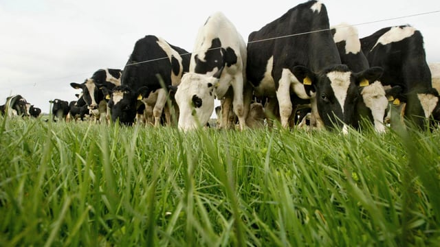
Sunday (May 26) will bring a mixture of cloud, sunny spells and scattered showers. Some of those showers could be heavy or thundery bringing a risk of spot flooding. Highest temperatures of 14° to 17° in moderate southwest to west winds.
There will be clear spells and scattered showers on Sunday night which will die out later. Lowest temperatures of 7° to 12° with moderate westerly winds.
There will be sunny spells and showers on Monday (May 27), rain and drizzle could arrive in the west and southwest in the evening where it will be cloudier. Highest temperatures of 13° to 16°.
After a cloudy start on Tuesday (May 28) with rain pushing eastwards, sunny spells will develop later in the day.
The national forecaster said that conditions will be unsettled for the coming week with rainfall amounts expected to be above normal across the country, ranging from 17 to 60mm.
The highest rainfall amounts are anticipated to be in the west and southwest.
It will be cooler over the next seven days, with temperatures returning closer to normal, while sunshine levels will be near or below normal over the seven days.
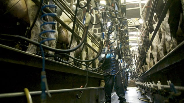
Due to the unsettled conditions drying and spraying opportunities will be limited. The best chance for spaying will be today, apart from the northeast and east due to some rain or drizzle.
With more rainfall forecast, soil moisture deficits (SMDs) across all soil types are expected to deteriorate with moderately or poorly drained soils in parts of the southwest, west and northwest becoming saturated or waterlogged.