Researchers can now find peat soils using radiation
Researchers at the University of Galway have created a new way to find peat soil, giving insight into where carbon is stored in the ground.
Through a combination of analytical techniques and data from the Geological Survey Ireland (GSI) and Tellus aerial survey, the research team was able to create a revised picture of where peat soils are present across 80% of Ireland, based on environmental gamma radiation measurements.
The Tellus survey is a national programme to gather geochemical and geophysical data across Ireland, to examine the chemical and physical properties of our soil, rocks, and water.
Researchers said the findings offer huge potential for influencing legislation around land use, and for helping to mitigate the impact of greenhouse gases (GHG).
The study was led by Dr. Eve Daly and Dr. Dave O’Leary from the Hydrogeophysics and Remote Sensing research group at University of Galway, in collaboration with Trinity College Dublin, Teagasc, and Geological Survey Ireland.
Lead author of the study, PhD researcher, Dr. Dave O'Leary said: “Gamma rays are invisible, high-energy photons, like light, that are released during natural radioactive decay of materials in rocks and soils.
"Peat soils have a unique ability to block this type of naturally occurring radiation, drastically reducing the number of gamma rays detected by the sensor mounted on the Tellus aircraft when flying over peat soils."
The research team focused on this aspect of peat to train a machine learning algorithm to identify similar soils occurring in the top 60cm of the land, where the Tellus survey has been flown to date.
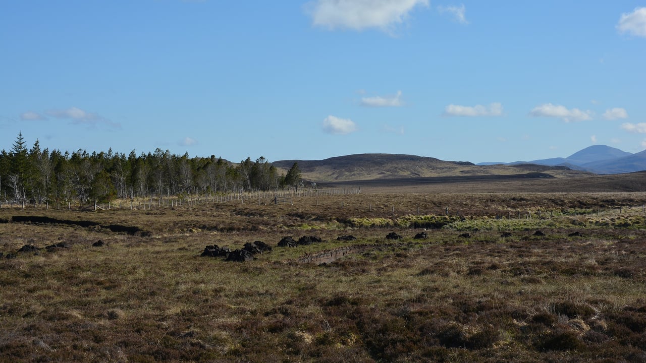
Peat soils are distinct from mineral soils as they are formed from decaying plant material, mixed with water and air, and contain a very high amount of carbon.
When waterlogged, this carbon is stored in the soils and their value has been increasingly recognised in recent years.
When water is removed, for example via drainage, peat soils then emit carbon dioxide as the decay process restarts.
Dr. O'Leary added: "The Tellus survey has provided consistent coverage and measurements across about 80% of the country at present.
"As this is a direct measurement from the soil, it allows us to create maps with boundaries showing realistic change from peat to mineral soils, regardless of what is covering the ground, be it trees or grass.”
The study was funded by GSI, a division of the Department of the Environment, Climate and Communications (DECC).
Geophysicist and lecturer in earth and ocean sciences, Dr. Eve Daly, said: “This study gives decisionmakers and regulators more accurate spatial data on the extent of peat soil in Ireland and will assist in highlighting specific areas that are suitable, or not, for interventions to mitigate greenhouse gas emissions.”


