Weekend weather: Cooler with rain and showers


The weekend weather forecast indicates a change to the pattern of warm sunny conditions we have experienced of late, with cooler temperatures and rain on the way.
This morning (Friday, May 23) will start dry with sunny spells and patches of mist and fog.
According to Met Éireann, cloud will increase from the west through the morning and then outbreaks of rain or drizzle will spread eastwards across the country, reaching the east later this afternoon.
There will be mist and hill fog too. Highest temperatures will range from 14° to 19°C, mildest in the east and south, in a light to moderate south to south-west wind.
The rain will clear from eastern parts of Ulster and Leinster early tonight. It will stay cloudy with patches of drizzle, mist and fog.
It will be mild with temperatures not falling below 12° to 14°, in a light to moderate south-westerly wind.
Looking at the weekend weather forecast, tomorrow Saturday morning will be cloudy with patchy light rain, mist and fog.
A spell of more persistent and heavier rain will extend across the country from the south-west through the afternoon and will be followed by scattered showers, some of which will be heavy.
It will become increasingly breezy, with moderate to fresh south-westerly winds developing. It will also be humid with highest temperatures of 14° to 19°.
Saturday night will bring a mix of clear spells and scattered showers, with a few heavy ones possible in the north-west early in the night.
Lowest temperatures of 7° to 10° are expected with a moderate to fresh south-westerly to west wind.
Sunday will be noticeably cooler and fresher day, with sunny spells and scattered showers. Highest temperatures will range from 12° to 15° in a fresh westerly breeze.
Showers will become mainly confined to the north and west on Sunday night. Cloud will increase overnight and may bring some rain or drizzle into the south-west towards morning.
Lowest temperatures of 6° to 10° are expected with a moderate south-westerly breeze.
Monday will start unsettled with rain or showers across the country. Highest temperatures will range from 11° to 14° with a moderate to fresh westerly wind.
Becoming drier on Monday night, although some cloud and patchy rain may linger in the south. Lowest temperatures of 6° to 12° are expected, coldest in the north, in a light to moderate westerly wind.
Becoming cloudy and wet again on Tuesday, with rain extending from the south-west. Highest temperatures of 13° to 16° are forecast with a moderate south to south-west wind.Looking further into next week, the national forecaster has indicated that it will be changeable with rain or showers at times and daytime temperatures reaching the mid to high teens.
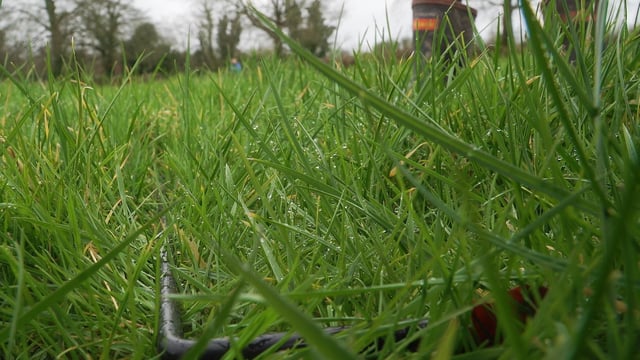
Drying conditions have been good over the past week, but will dis-improve this week due to more unsettled weather bringing rain or showers from Friday afternoon onwards.
There will be good opportunities for spraying on Friday morning. Opportunities will be limited thereafter.
With soil moisture deficits (SMD) above 50mm in many areas, growth is increasingly restricted. With rainfall forecast from Friday afternoon onwards, SMDs will likely recover to between 15mm and 40mm in many areas by next week.
Weather conditions conducive to the spread of potato blight will occur over Ireland from midday today (Friday, May 23) to midnight on Saturday, May 24.
There will be opportunities for spraying on Friday morning.