Wet weekend in store but slightly drier conditions next week

Weather conditions will remain wet and generally poor over the weekend, though rain and showers will be lighter early next week with higher temperatures, according to Met Éireann.
Today (Friday, August 6) will see outbreaks of rain bringing hazardous driving conditions and the ongoing risk of spot flooding. The best of the drier spells will be across the south and southeast early on.
Highest temperatures will range from 15° to 19°, mildest away from Atlantic counties. It will be blustery across the southern half of Ireland, in a fresh westerly wind. Elsewhere, westerly breezes will be just light to moderate in strength.
Outbreaks of thundery rain will persist overnight, heaviest and most frequent across Atlantic counties. There will be some drier spells too, especially across the midlands and east, but with possible mist.
It will be a relatively mild night, with lowest temperatures of between 12° and 15°. Westerly winds will be strong along Atlantic coasts, and somewhat lighter elsewhere.
Blustery outbreaks of rain will occur tomorrow (Saturday, August 7), merging into longer spells of rain in places, with further spot flooding and possible thunderstorms. There will be some bright or sunny spells too, with driest conditions likely across southern counties.
Highest temperatures tomorrow will range from 16° to 19°, mildest across the northeast. West to northwest breezes will be mostly moderate to fresh in strength.
Saturday night will see scattered heavy blustery showers, merging into longer spells of thundery rain at times across the north and northwest. It will be driest in the southeast.
Lowest temperatures tomorrow night will be 11° to 14°, in a moderate to fresh westerly breeze.
On Sunday (August 8), showery conditions will continue, heaviest and most frequent over the northern half of the country with possible thunderstorm activity. It will be drier elsewhere, with sunny spells and just well scattered showers.
Highest temperatures will be 16° to 20°, mildest in the southeast. Fresh westerly winds will moderate later.
On Sunday night, showers will become lighter and more scattered overnight with mist patches. Lowest temperatures will be 11° to 14°, in light to moderate westerly breezes.
Monday (August 9) will be a day of sunny spells and scattered heavy showers - driest early in the morning and later in the evening. It will be milder than previous days, with highest temperatures of 17° to 21°, in mostly moderate northwest breezes.
Tuesday (August 10) will be an overall dry day with sunny spells and just well scattered showers - most of these in the northwest. There will be mist and low cloud at times along southern coasts.
It will feel rather warm, with highest temperatures of 18° to 21° in a light southerly breeze.
On Wednesday (August 11), overnight rain clearing to sunny spells an scattered showers, in moderate westerly breezes.
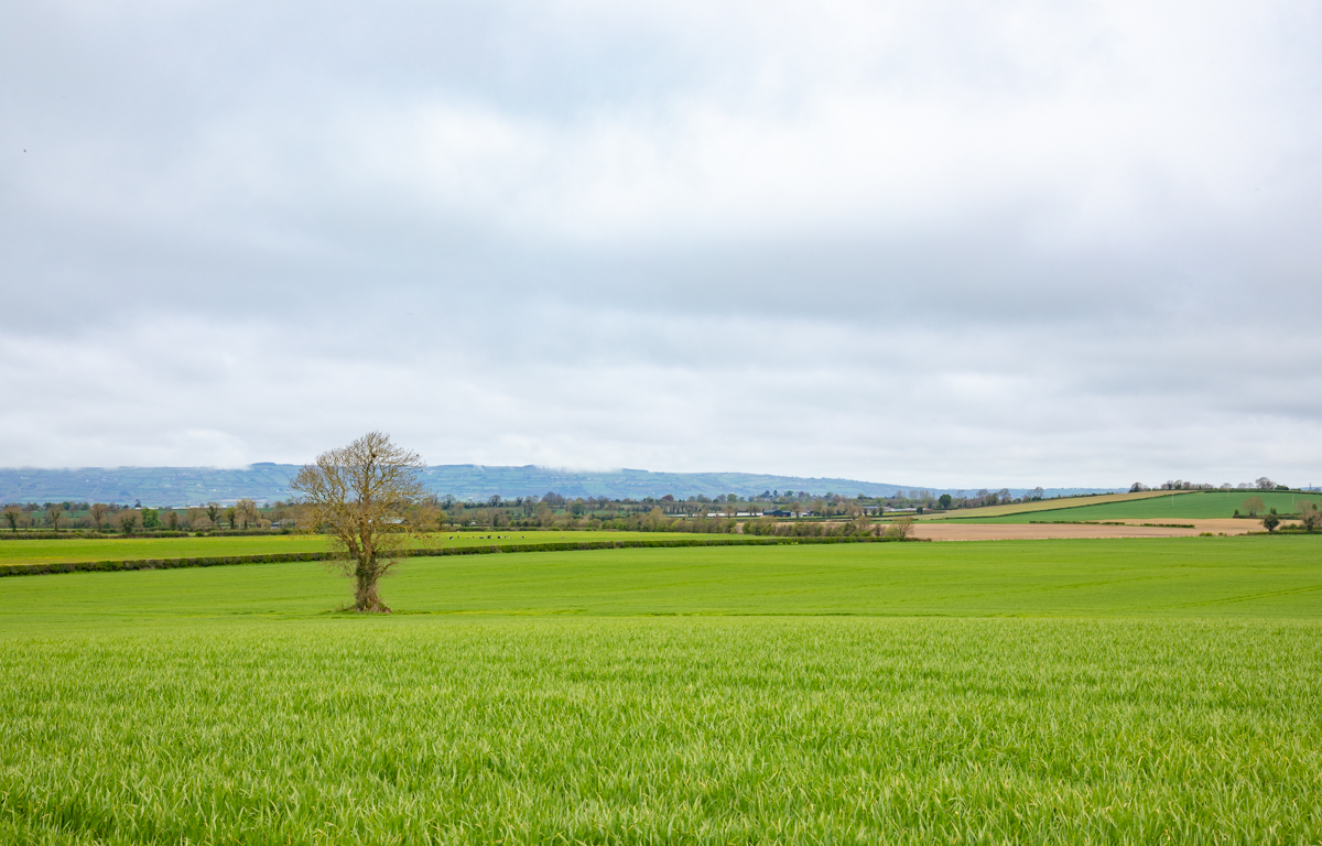
In its latest farming commentary, Met Éireann noted that drying conditions will be poor over the coming days, as will be opportunities for spraying, with the best opportunities probably on Tuesday.
Soil moisture deficits currently range from 15mm to 60mm for all soil types. However, over the next week deficits will decrease countrywide with above average rainfall, with some soils becoming saturated.