Met Éireann: Mostly dry and mild for early part of this week

Met Éireann has said that the weather will be generally dry, mild and fair for the coming days, but it is due to turning showery later in the week.
Today (Monday, March 3) will be cloudy and mainly dry, apart from some patchy light rain and drizzle, primarily in Ulster and Connacht. There will be bright or sunny periods in Munster and south Leinster.
There will be highest afternoon temperatures of 9 to 12°C in light to moderate southwest winds.
Tonight will be dry with good clear spells in many areas, cloudy in Ulster and west Connacht.
Lowest temperatures of -1 to 4° tonight with some frost and icy patches, between 5 to 8° where it is cloudier.
The winds will be mostly light or moderate southwesterly, lightest in southern areas, increasing fresh in some western and northwestern coastal parts.
Met Éireann said that tomorrow will be a mostly dry day with some sunny spells, turning hazy in the afternoon. In parts of west Connacht and west Ulster, it will be a cloudier day.
It will become breezy with southwest winds increasing moderate to fresh and gusty and will be strong in western and northwestern coastal parts. Highest temperatures of 9 to 13°.
Most areas will be dry on Tuesday night but there is the chance of some rain and drizzle in northern coastal parts.
Lowest temperatures of 2 to 5° in Leinster and Munster and from 6 to 9° in Connacht and Ulster with fresh southwest breezes.
Mostly dry with sunny spells on Wednesday, some light rain and drizzle are possible in Connacht and Ulster which will clear through the morning.
It will be breezy with moderate to fresh and gusty south to southwest winds, stronger once again in coastal parts of the west and northwest. Highest temperatures of 10 to 14°.
Mainly dry on Wednesday night with a mix of cloud and some clear spells, patchy light rain and drizzle on northwestern coasts.
Lowest temperatures of 3 to 8° in mostly moderate southerly winds, fresh to strong in western and northwestern coastal parts.
A mixture of sunshine and scattered showers are expected on Thursday. Cloud will build from the west as the day progresses bringing rain.
Highest afternoon temperatures of 9 to 12° in moderate to fresh south to southeast winds.
The rain will extend eastwards on Thursday night, mainly affecting east Ulster, parts of Leinster and east Munster into Friday morning, with some drier weather to the west and northwest.
Lowest overnight temperatures of 4 to 8° in light to moderate variable breezes.
Mostly cloudy with rain and drizzle in the east and southeast on Friday, becoming drier and brighter in the east and south later in the day, but some scattered showers in southern areas.
The rain and drizzle will continue to clear to the northwest on Friday night, but the showers will gradually become more widespread from the south, some of them heavy and thundery.
There will be widespread showers on Saturday, some of which will be heavy and thundery. Some sunny spells are also possible. Highest temperatures of 11 to 15°, in mostly moderate, occasionally fresh east to southeast winds.
Sunday is expected to be a drier day with more sunny spells. Highest temperatures of 12 to 16° feeling warmest in the west.
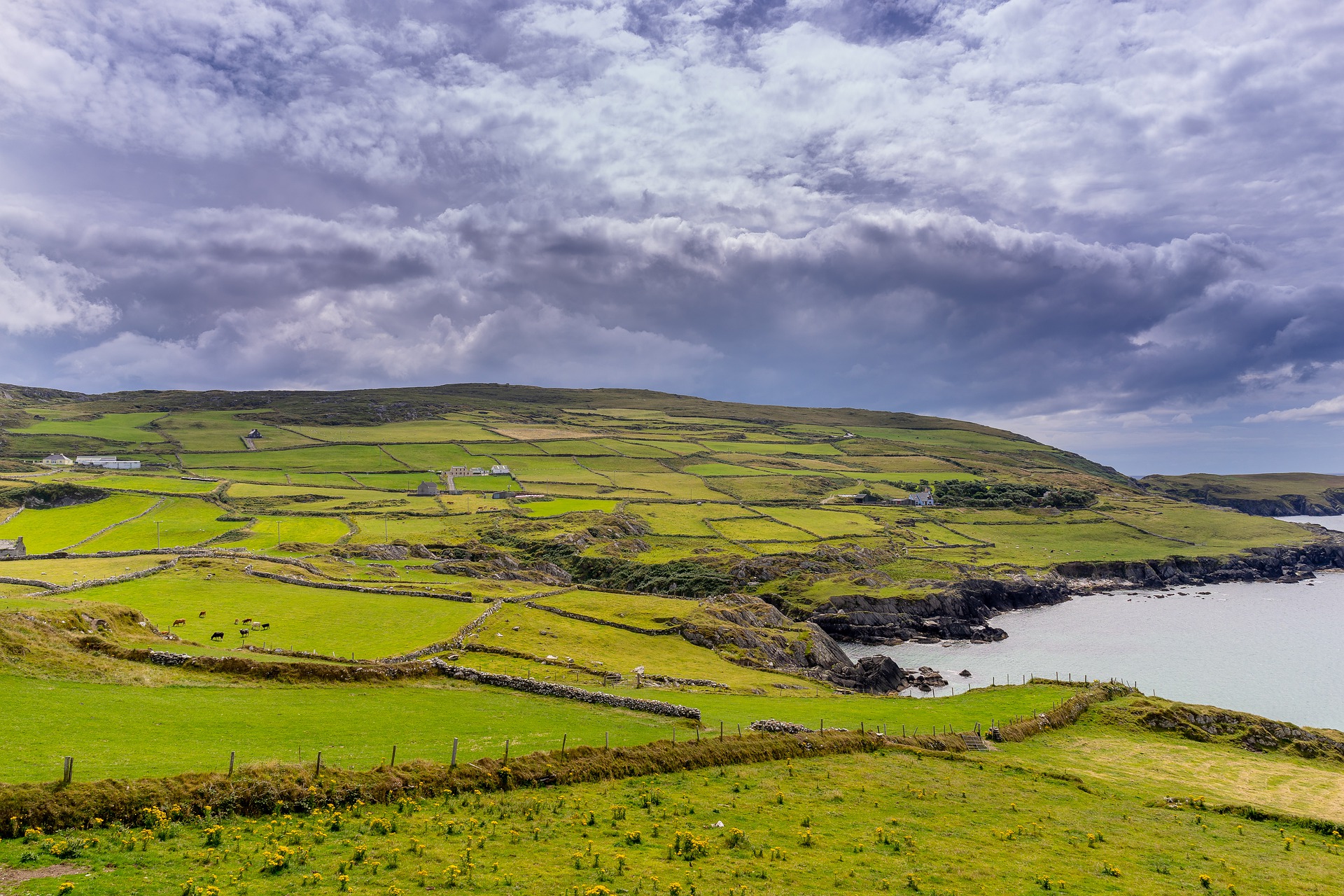
Met Éireann said that conditions will be more settled with high pressure close to the country for much of the week.
As a result, most places will be drier than normal, but some western areas may see slightly more rainfall.
This week will be milder than average with air temperatures of 8 to 10°, which is 1 to 3° above normal.
With the mostly dry weather in the east and south over the next few days, drying conditions will be good. Moderate or poor drying at times in the west and north.
More unsettled weather from Thursday on will see drying conditions deteriorate.
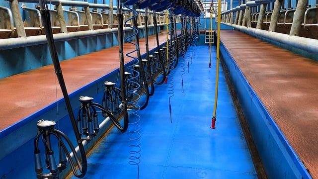
There will be good opportunities for spraying up until Thursday as it will be mainly dry with mostly light to moderate winds.
Met Éireann said that there will be an improvement in soil conditions in the early half of the coming week.
However, due to the more unsettled conditions towards the end of the week there will be a deterioration in soil conditions again.
By the end of the week, all soils will be saturated with most poorly drained soils becoming waterlogged.